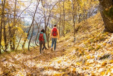

Itinéraire du tour de la Roche d'Étache en 2 jours
Highlights of this hike
Highlights:
- A loop hike that can be completed over a weekend
- A Night at the Ambin Shelter
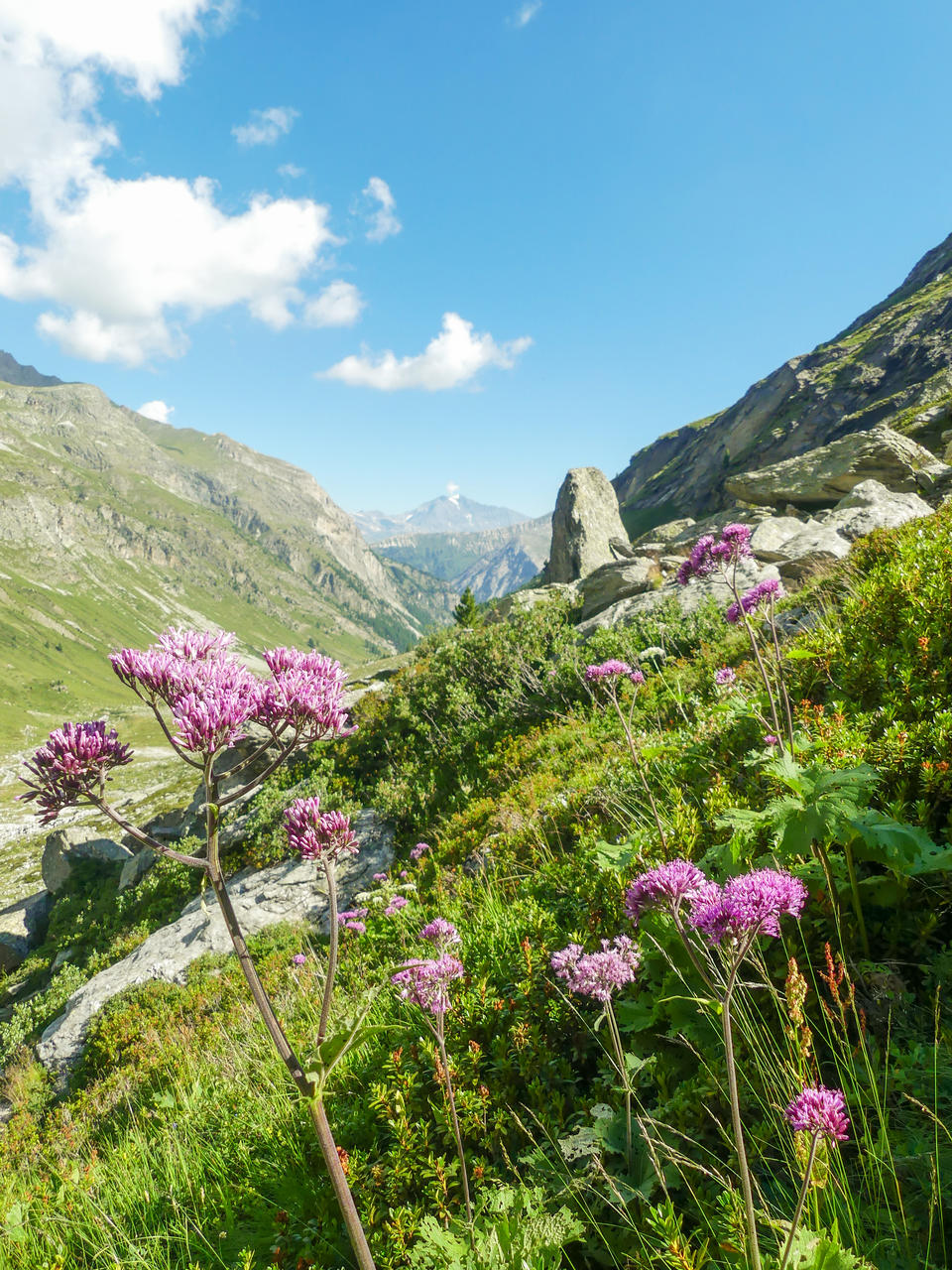
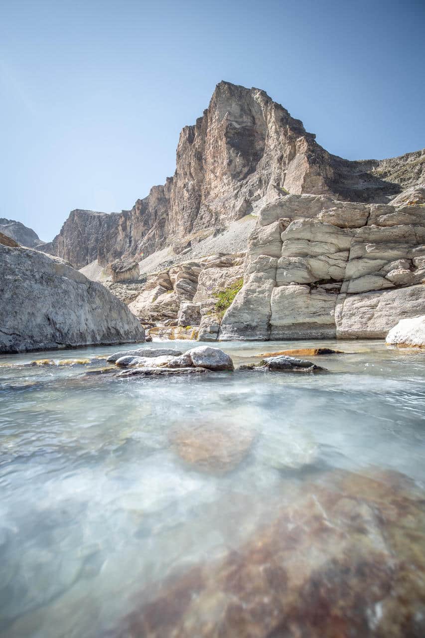
- A variety of landscapes, including alpine pastures, lakes, and high mountains
- A wild atmosphere far from the most popular trails
- An ideal route for discovering backpacking
Map of the route
 Shelters
Day 1: From Le Planay to the Ambin Shelter
Duration: 3 hours 30 minutes
Elevation gain: +590m / -90m
Stage Overview (7.3 km)
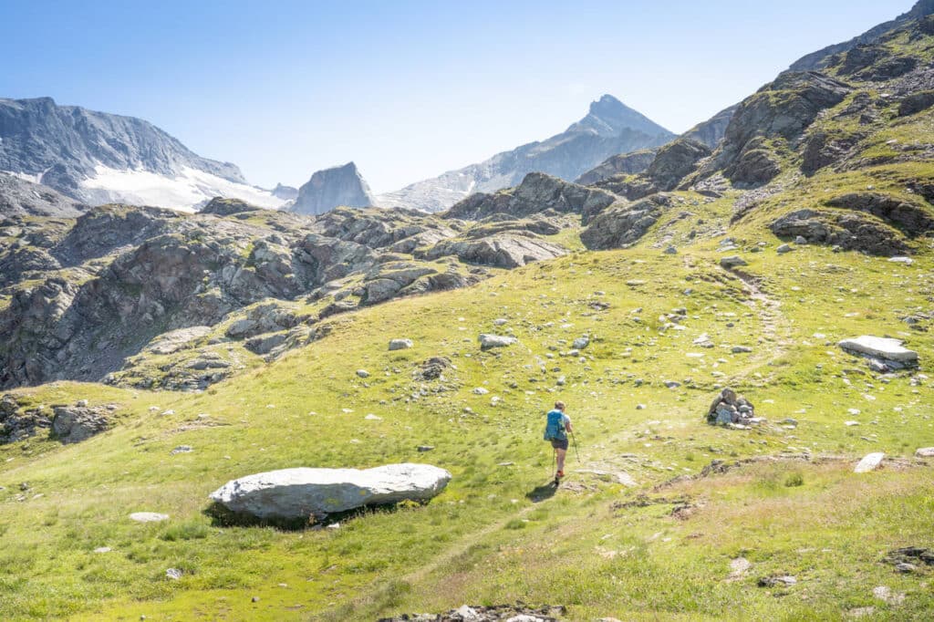
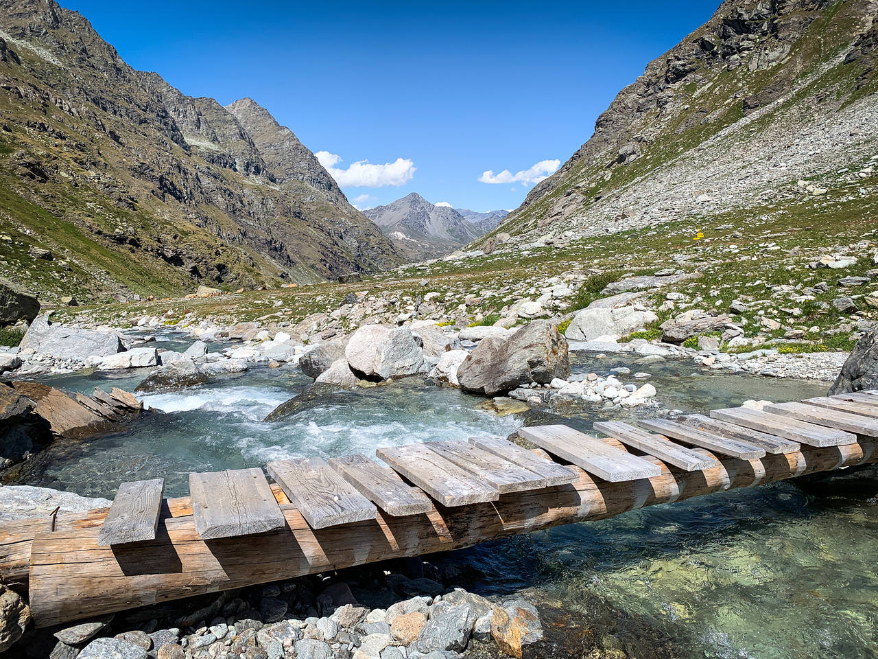
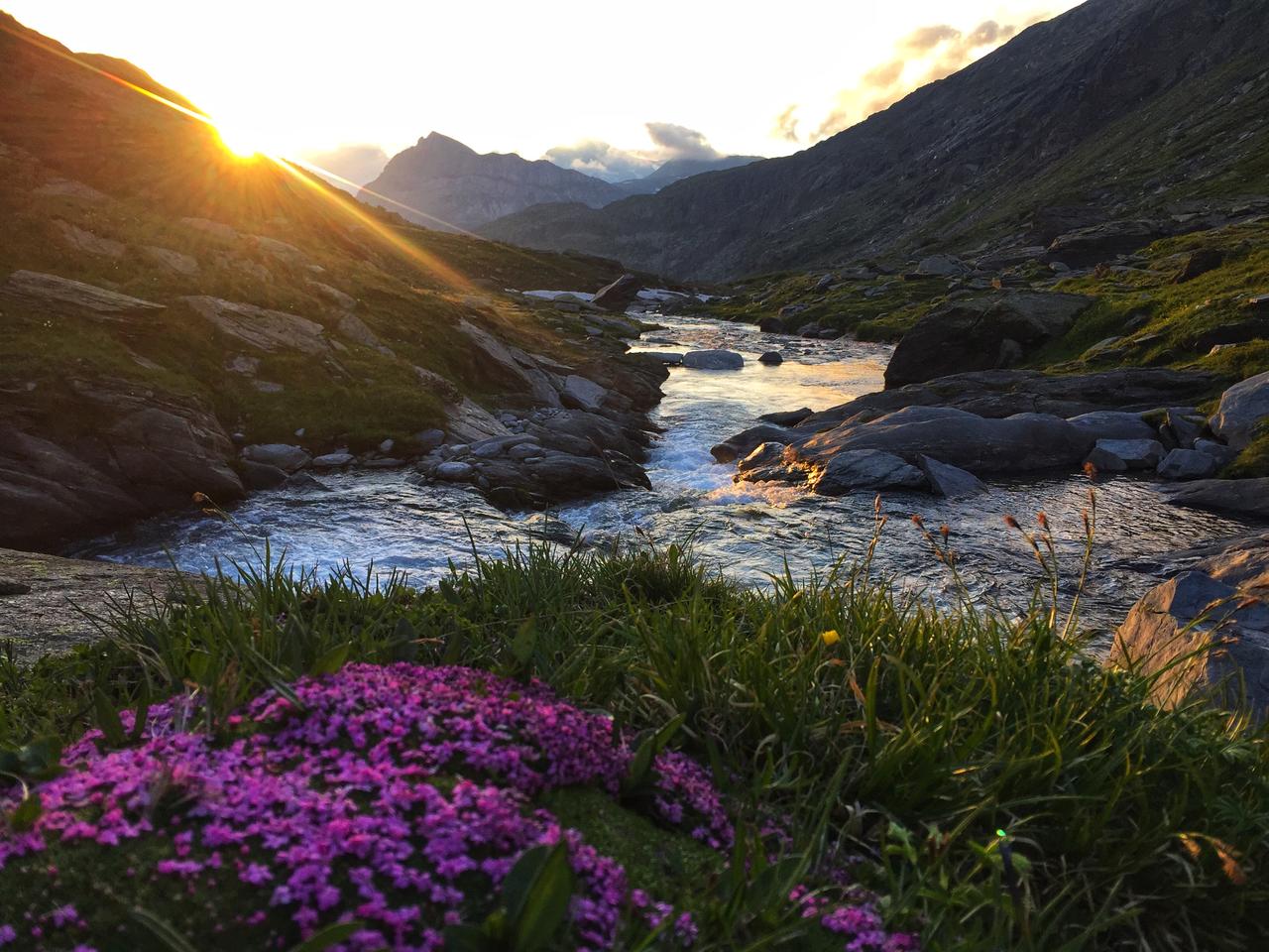
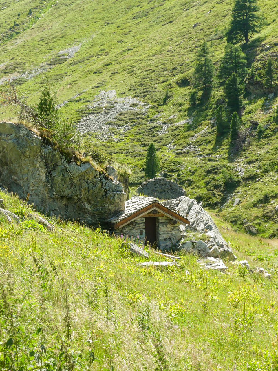
From the hamlet of Planay, the route gradually climbs up the Ambin valley. The trail winds through forests, alpine pastures, and mountain streams before reaching the Ambin mountain hut, nestled in a spectacular setting at the foot of the border peaks.
Highlights of this stage
- The Landscapes of the Ambin Valley
- Marmots and High-Altitude Wildlife
- The Old Mountain Pastures
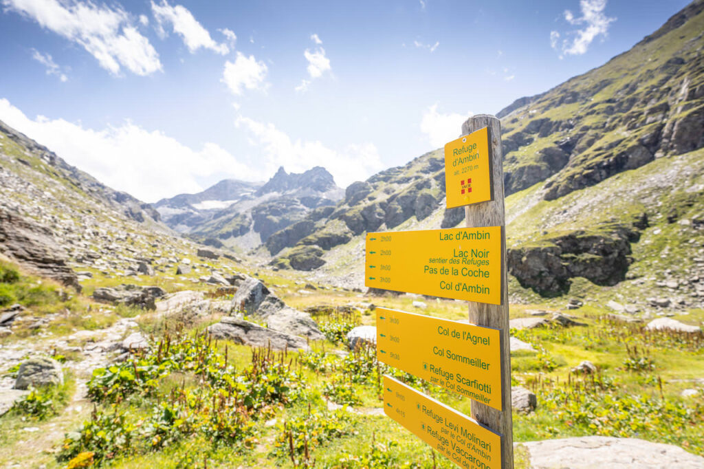
- The Ambin Shelter
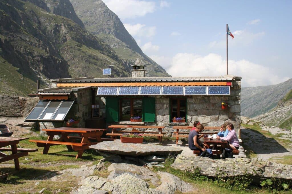
Staying at the Ambin Mountain Hut
Day 2: From the Ambin Refuge to Le Planay via the Petit Mont-Cenis Pass
Duration: 6 hours 30 minutes
Elevation gain/loss: +710 / -1290 m
Stage Overview (16 km)
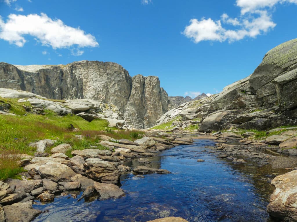
On this second day, you’ll reach an altitude of nearly 3,000 meters. After the climb to the high mountain passes, the trail winds its way down to the alpine meadows on the southern slope before gradually returning to the Planay valley. Panoramic views of the Roche d’Étache and the surrounding peaks accompany hikers throughout this stage.
Highlights of this stage
- High-altitude mountain passes, including the Pas de la Coche at nearly 3,000 meters
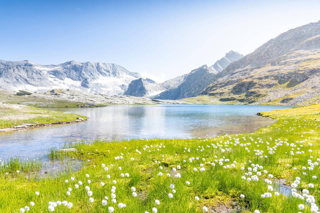
- Mountain Lakes
- The sweeping panoramic views of the French-Italian Alps
- The mountain pastures on the southern slope and the Étache farm

Warning!
How to Prepare for Your Hike
Before you leave:
- Check the weather.
- Book your stay at the lodge.
- Check the trail conditions at the start of the season by calling the tourist office.
- Set out early enough each morning, and don't forget your water and sunscreen!
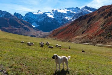
- Please be respectful of herds and guard dogs.
- Bring a map or a GPS track.

Practical information
Level: Experienced hiker
Duration: 2 days
Total distance: 23 km
Elevation gain: approximately 1,300 m
Recommended period: From mid-June to late September, depending on snow conditions. Always be sure to check the local real-time weather report before setting out on your hike.
Lodging: Overnight stay at the Ambin mountain hut: reservations are required.
Starting point: Depart from the Refuge du Suffet in Bramans. It is accessible by car or shuttle bus from the Modane train station. You can park at Le Planay in the parking lot located before the bridge leading to the Refuge du Suffet (a one-minute walk from the hut).
An experience to live and share
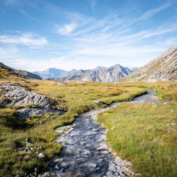
This more adventurous version gives you time to explore the mountain range’s wild landscapes, with one night spent camping, one night in a mountain hut, and plenty of encounters with mountain wildlife.
The Vanoise Glacier Tour
Meeting a Patou: what are the right things to do?