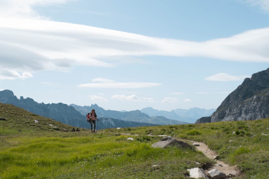
Hiking trails in Haute Maurienne Vanoise
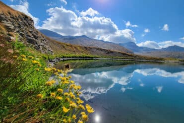
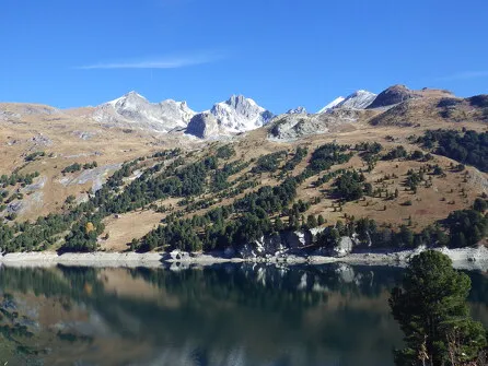
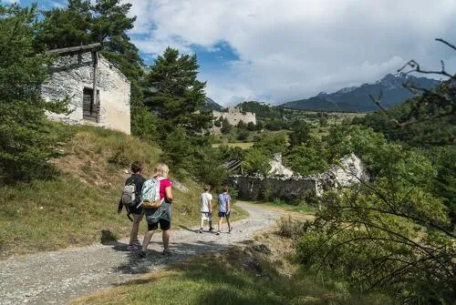
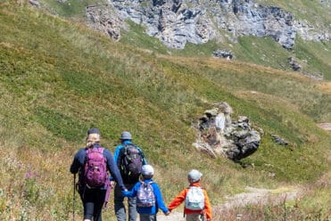
En Haute Maurienne Vanoise, prenez les chemins pour admirer les glaciers, aller rencontrer les marmottes, franchir les 3000 mètres ou observer les edelweiss et les bouquetins. Balades faciles en famille, sorties à la journée ou randonnées itinérantes sur plusieurs jours à vous de choisir ! Pour une découverte de tout le territoire, empruntez le bien nommé “chemin du petit bonheur” qui longe la rivière Arc. Et pour tout savoir sur le territoire, son patrimoine, sa faune, sa flore et ses pépites méconnues, laissez-vous guider par nos professionnels de la montagne.
Before you leave, assess your level:
-
- Aussois
- Avrieux
- Bessans
- Bonneval-sur-Arc
- Furnaces
- La Norma
- Modane
- Val-Cenis
- Val-d'Isère
- Valfréjus
- Villarodin-Bourget
- Easy-Green (34)
- Modérée-Bleu (56)
- Quite difficult-Yellow (25)
- Difficile-Rouge (63)
- Very difficult-Black (21)
-
181Validate
-
Aussois
 hike
hikeThe Pierre aux Lièvres walking loop
- Distance 2.2 km
- Daily duration 1:00 a.m.
- Elevation gain 100m
- Negative gradient 100m
-
Bonneval-sur-Arc
 hike
hikeEvettes Refuge and Lake Grand Méan -…
- Distance 14km
- Roaming duration 2 days
- Elevation gain 1050m
- Negative elevation 1050m
-
Villarodin-Bourget
 equipment
Easy walk: Orgère Valley
-
Valfréjus
 hike
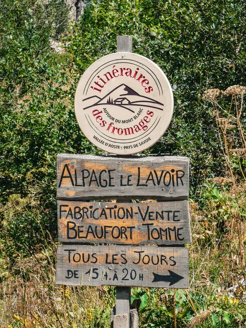
hikeFromagerie du Lavoir Walking Tour
- Distance 6.5 km
- Daily duration 02:15
- Elevation gain 320m
- Negative elevation 320m
-
Bramans
 hike
hikeWalking tour from Val Cenis Bramans to…
- Distance 10.7 km
- Daily duration 3:00 a.m.
- Elevation gain 350m
- Elevation loss 350m
-
Bramans
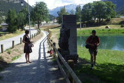 equipment
A leisurely walk: In pursuit of Hannibal
-
Bessans
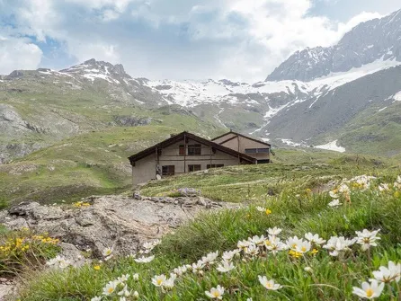 hike
hikeAvérole Mountain Hut – Discovering an aut…
- Distance 14.6 km
- Roaming duration 2 days
- Elevation Gain 751 m
- Elevation loss 751 m
-
Aussois
 hike
hike2-day hike to the Fond d'Aussois Refuge…
- Distance 4.4km
- Daily duration 2:00
- Elevation Gain 349 m
-
Aussois
 equipment
Walking in Alessandro's Footsteps
- 1
- 2
- 3
- >
- >>
To find out more...
103 walks and hikes, 38 trails" guidebook
Discover all the trail and hiking itineraries in Valfréjus and at Haute Maurienne Vanoise with our Guide (easy walks booklet + hiking and trail booklet + map) on sale at the Tourist Office.
Hiking and trekking guide - Gentle getaways (PDF)
Hiking and trail guide - High altitude escapes (PDF)
Hiking and trail map (PDF)
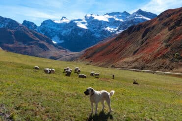
Meeting a Patou: what are the right things to do?
Hiking in the heart of the Alps