5 must-do trails Haute Maurienne Vanoise by Thibaut Baronian

5 must-do trails Haute Maurienne Vanoise by Thibaut Baronian

27 wednesday 2024
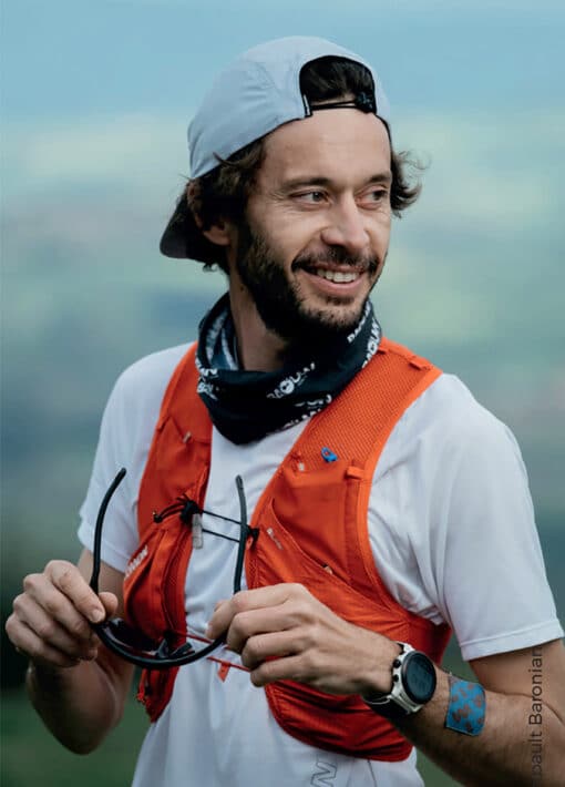
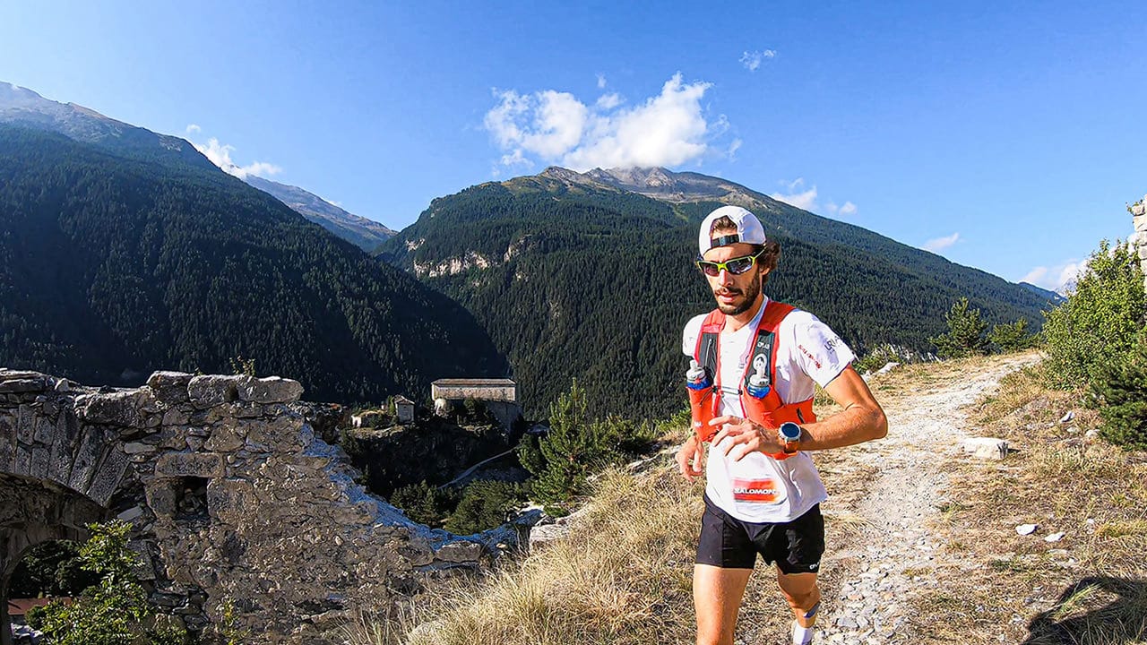
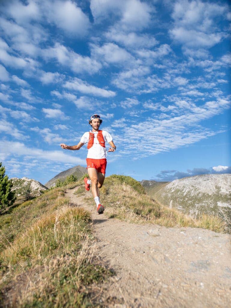
Thibaut Baronian, French Trail Champion and Haute Maurienne Vanoise ambassador, runs, skis and bikes in the region all year round. His Top 5 trail outings.
Thibaut Baronian, trail terrain for the world's best

Haute Maurienne Vanoise is the perfect place to train, with very Alpine conditions, altitude, and a wild, unspoilt feel thanks to the Vanoise National Park. An environment that offers everything I need for my training and preparation.

Picto guillemet

Thibaut-Baronian-Aussois

Le Grand Méan, The exit!

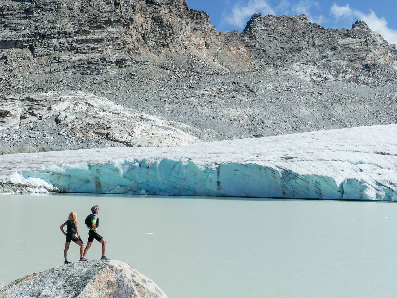
"Of my 5 "coup de cœur" itineraries, I'd choose the Grand Méan first and foremost. In terms of aesthetics, it's THE way to go! With breathtaking scenery: an incredible glacier that falls into a lake where small icebergs float. I'll let you imagine the overlapping shades of blue! It's really a sight to behold. The other great thing about this hike is its accessibility. You'd think you were at the end of the world, yet it's not too difficult a hike.

Start: parking lot in the hamlet of l'Ecot, Bonneval sur Arc.
Distance: 14km
Time: 05h30
Ascent: 1050m
Negative altitude gain: - 1050m
Level: moderate

Bellecombe, the wild way out
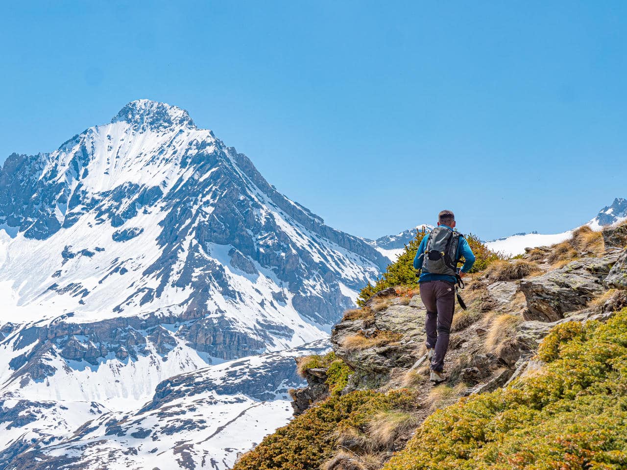
"In the accessible genre, there's also Bellecombe, which I love! A site in the heart of the Vanoise National Park. Once you've passed the parking lot (access by free bus in summer, or by car), it's one of the wildest spots on Haute Maurienne Vanoise, so you have the chance to come across all sorts of species: marmots, bearded vultures, chamois, ibex... And then in places like this there's an extraordinary sense of isolation. The other little plus? The Auberge de Bellecombe! Firstly, because it's run by my friends, and secondly, because you can combine a hike with a B&B for a totally immersive experience".

Start: Bellecombe parking lot, Val Cenis. In the heart of the National Park, stay on the trails.
Distance: 10 km - loop
Ascent: 620 m
Negative elevation gain: -371 m
Duration: 04h00
Max. altitude: 2 430m
Level : Easy

Mont Cenis crests at 3000
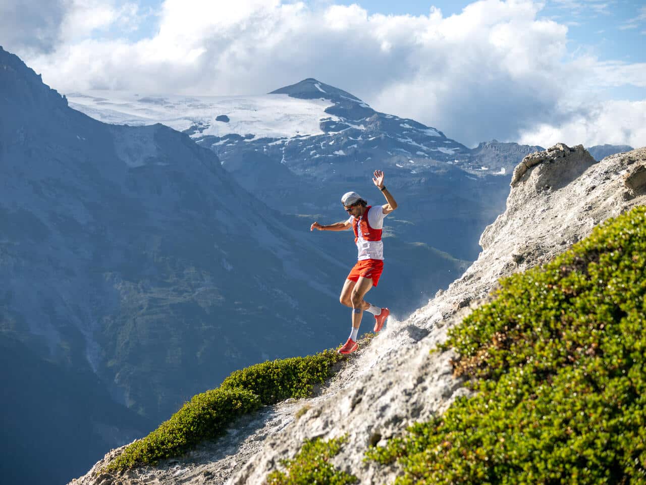
"Another itinerary I particularly enjoy on the Val Cenis side is the crêtes du Mont Cenis. This off-trail route covers the entire ridge above the Mont Cenis lake. It's a very committed route, at an altitude of over 3,000 metres, and also very wild, with rocky passages that are not easy to negotiate. But above and beyond its commitment, the charm of this 20km loop is also the breathtaking view of the immense Mont Cenis lake along the way."

Departure point: Col du Mont Cenis, Val Cenis. Off marked trails.
Distance: 20 km - loop
Duration: 8h 30
Ascent: 1,094 m
Negative altitude gain: -1,650 m
Level : Difficult

Le Fond d'Aussois
"On the Aussois side, I love going to the Parrachée and Fond d'Aussois refuges. The route is very, very nice, with the dam lakes, the Parc de la Vanoise and the Dent Parrachée in the background. It's not necessarily a very technical outing, but it does allow you to enjoy some magnificent scenery and... some nice breaks in the refuges! If you'd like to go even further and add to the climb, you can also treat yourself to a little "3000" with the summit of the Râteau d'Aussois. To reach this summit, you quickly gain altitude from the reservoir. Just before the final climb, there's a very nice pass where you can come across some ibex. A very nice outing.

Start: Plan d'Amont parking lot, Aussois.
Distance: 12.5km
Max. altitude: 3128m
Ascent: 1120m
Duration: 5 hours
Level: difficult
Start: Plan d'Amont parking lot, Aussois.

Le Thabor, a side of the Southern Alps
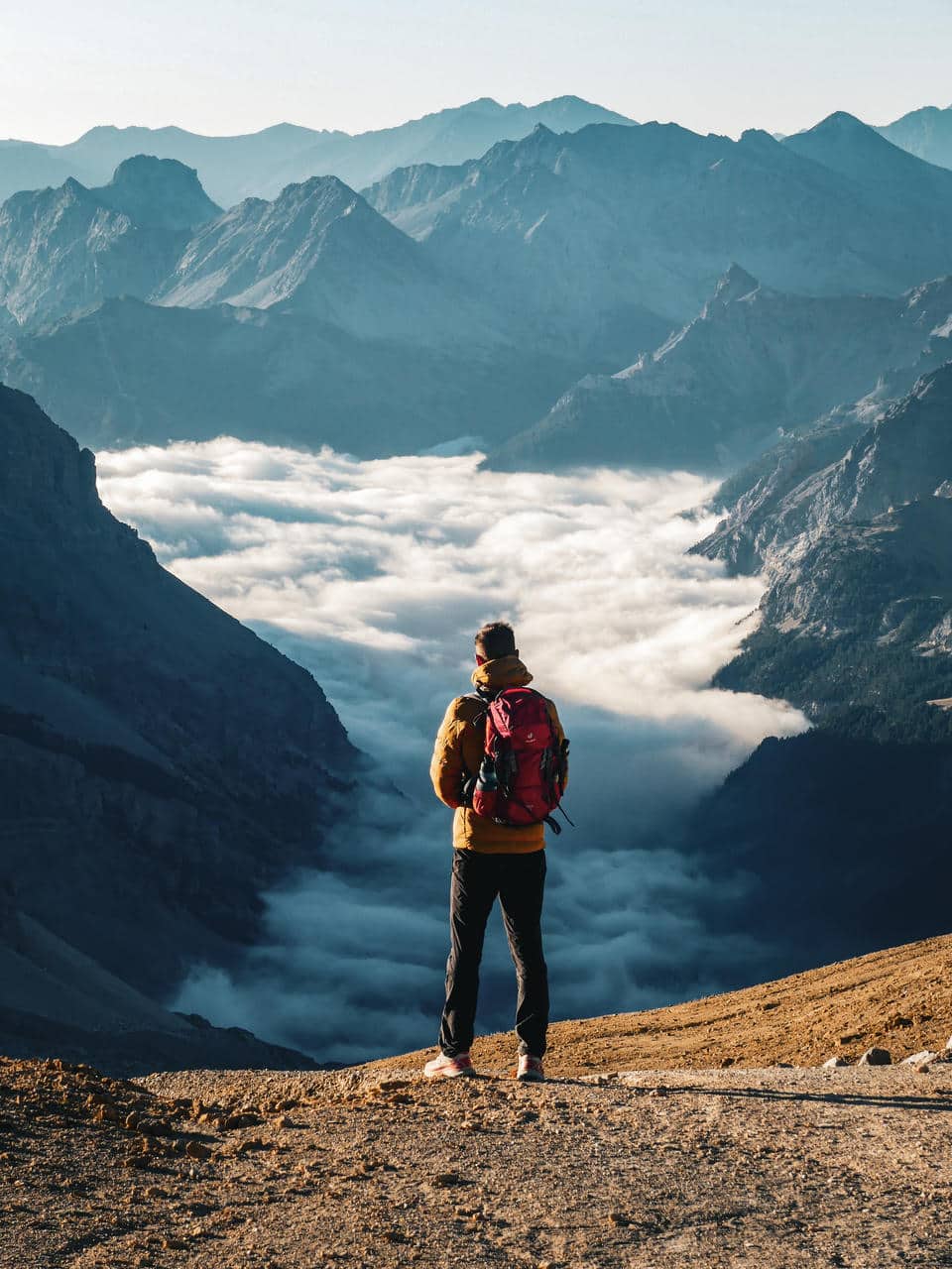
"And for a change of scenery, I'll finish with Mont Thabor! A route that has a Southern Alps feel and is quite different from the other sectors of Haute Maurienne Vanoise. The Thabor also peaks at over 3000 metres. The panorama from the summit is breathtaking. And to get back to Valfréjus, you can take the narrow valley, a beautiful, wild and unspoilt valley. A remote exit in a border area. You can even make a detour into Italy!

Start: parking du Lavoir, Valfréjus.
Distance: 23 km
Ascent: 1255 m
Negative altitude difference: - 1255 m
Level: difficult
Duration: 7 hours
Start: Lavoir parking lot, Valfréjus.
thibaut-baronia-val-cenis
You may also be interested in...
HMV-Vignette-blog-edf-cenis-tour

EDF Cenis Tour Trail

The trail event in Val Cenis and Haute Maurienne Vanoise. 1st weekend in August.
Discover!
HMV-Vignette-blog-trail

All trail routes

Discover the routes and download the tracks for some thirty itineraries at Haute Maurienne Vanoise.
Discover
371x248-Vignette-franchir-la-barre-des-3000jpg

Hiking to the 3,000 mark

Haute Maurienne Vanoise is home to over a hundred peaks over 3,000 metres, some of which are accessible by "classic" hikers in summer.
Discover!
Written by:
Kaïs Serrano Press relations and content